
In response to the flood events that have impacted on the village of Moniaive and the surrounding areas, Moniaive Initiative are beginning a Rivers and Wetlands Project. The project will also aim to provide co-benefits including improvements to habitat connectivity, biodiversity and public access to nature.
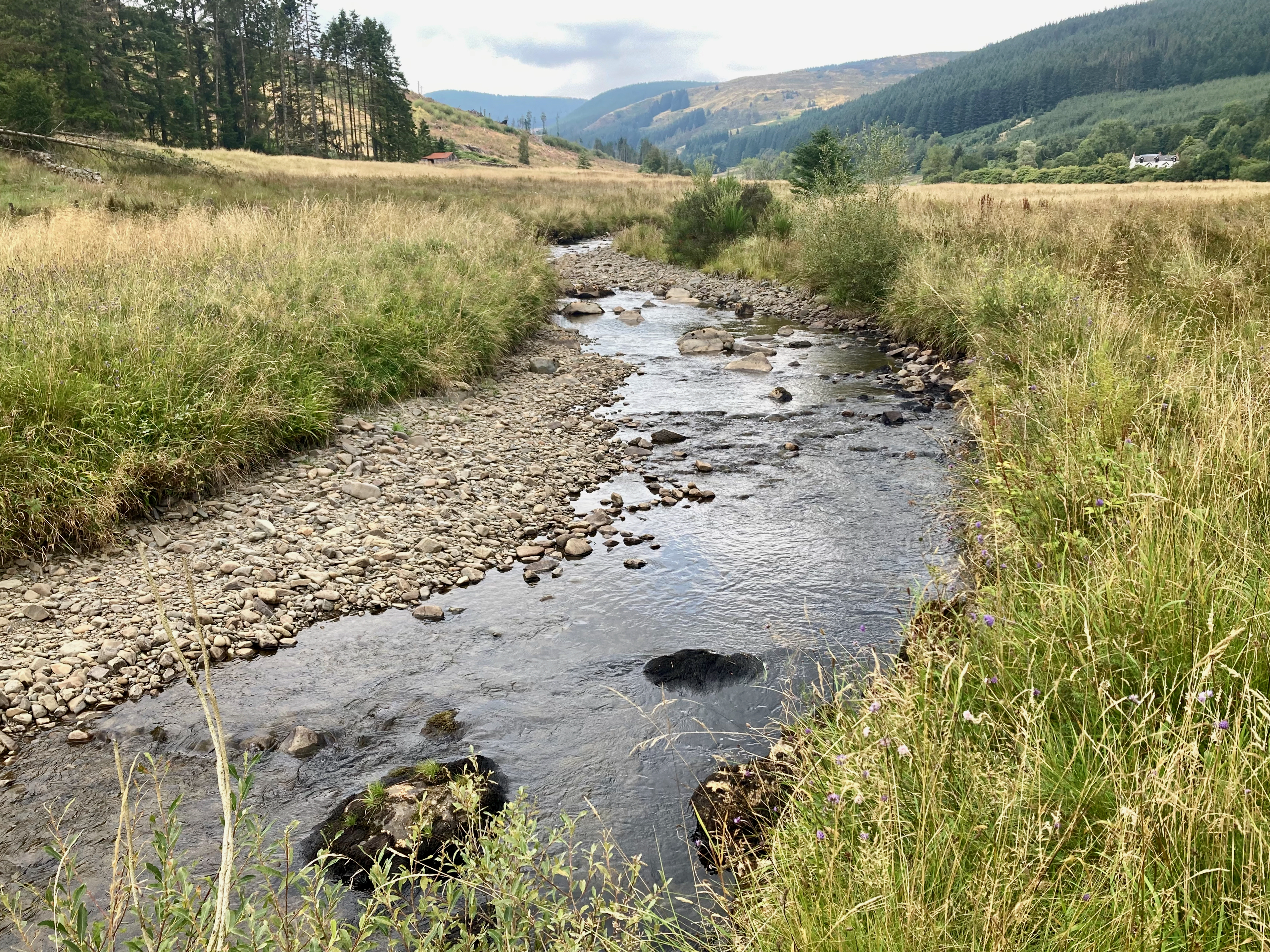
Dalwhat Water near Benbuie
The first stage of Rivers and Wetlands Project is to undertake an Options Appraisal on Natural Flood Management within the Cairn, Dalwhat, Craigdarroch and Castlefairn catchments. The principles of natural flood management include measures to regulate water by “slowing the flow” upstream of flood risk areas and “spreading the flow” downstream to minimise water rising in areas of flood risk.
Interventions used successfully in other catchments include re-connecting a river with it’s flood plain to disperse water, installing “leaky dams” which hold water upstream during peak flows, planting trees along watercourses to regulate the flow of water into watercourses and the “re-meandering” of rivers which have been straightened by human engineering. Other measures include peatland restoration in the upper reaches of a catchment and the creation of “wet woodland”.
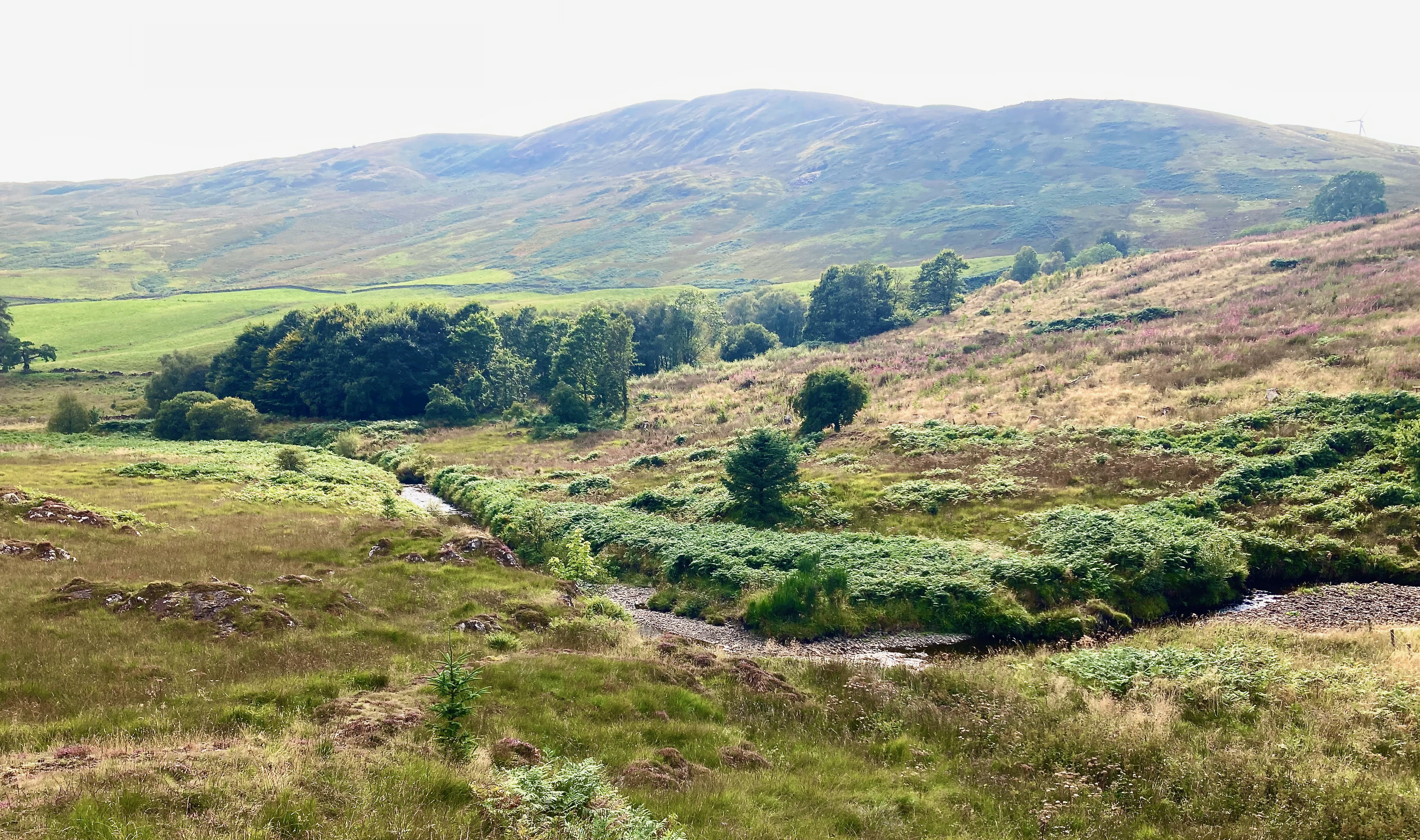
Dalwhat Water near Glenjaan
The catchments of the Craigdarroch, Castlefairn and Dalwhat broadly conform to the boundary of Glencairn Parish and the first part of the project is undertake a desktop assessment to understand water flows, land use and the pressures and impacts on watercourses within the catchment. We are using Global Information Systems (GIS) mapping to identify existing watercourses, wetlands, peatlands and riparian cover and layering datasets onto the features within the parish. Publicly available data we will be looking at includes catchment extent, water quality, flood risk and geomorphological data from SEPA; woodland, archeological constraints and designated site information from NatureScot. Historic maps will be used to look at how, when and if the rivers have been modified. Light Detection and Ranging data (LiDAR) is also very useful to understand the lie of the land and historic drainage and river channels. LiDAR is a remote sensing technology that uses laser pulses to measure exact distances and build detailed 3D maps of the landscape.
Following the desk based assessment, field trips will be undertaken to confirm findings from the desk-based assessment and to consider potential interventions to manage flood risk. We will be liaising with FLS, SEPA and local landowners to consider options that will help to mitigate flood risk whilst avoiding impacts on homes, businesses and property. We also intend to discuss flood mitigation possibilities with developers who may have consent for infrastructure projects within the parish catchements.
We aim to help inform local residents as to the way water behaves in the parish, how Natural Flood Management techniques may help to protect their homes and how land use affects the way water moves within the catchments. We will continue to collect feedback from residents about their experiences of flooding, how they interact with the rivers in the parish and any ideas they may have to help the project along.
What have you noticed about the rivers of Glencairn? Do you have a favourite riverside walk? What we would you like to see in the way of improved access around the rivers and wetlands of Glencairn? Please do let us know and keep an eye on the website and social media channels for updates and potential events as we move forward with the project.

